Company
IR
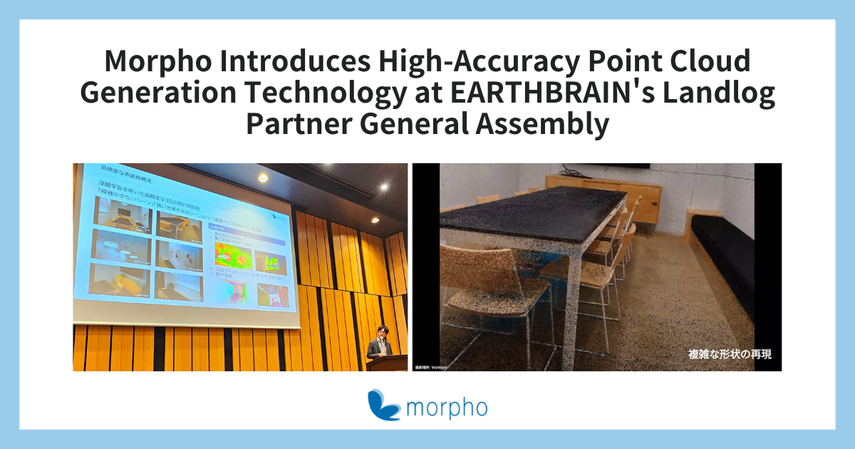
Tokyo, Japan – July 3rd, 2024– Morpho Inc. (hereinafter, “Morpho”), a global leader in image processing and imaging AI solutions, announced today that it had conducted a presentation during the hosted by EARTHBRAIN Ltd. in which it introduced its camera-based technology for high-accuracy point cloud generation.

The construction industry has found itself beset by a variety of issues in recent years. Its workforce is graying, and there is a shortage of labor. This is also making it difficult for experienced workers to pass on their skills to the next generation. At the same time, advances are being made in efforts to reform workstyles, increase productivity, and create sustainable business environments. One of these advances is the introduction of BIM/CIM(*) by the Ministry of Land, Infrastructure, Transport and Tourism. This combines 3D models and attribute information to improve the efficiency and sophistication of construction production and management processes. The rise of BIM/CIM is making 3D models even more important.
In recent years, progress has been made in technologies for generating the point cloud data used to create 3D models. One way to generate point cloud data is from images taken by smartphones or tablets with LiDAR. This makes it easy to generate data without the need for expensive, specialized measurement equipment such as laser scanners, so the technology is drawing a great deal of attention. However, the results achieved using this technology are not as accurate as those achieved with specialized measurement equipment, so there are some use cases for which LiDAR-based point cloud generation cannot be used.
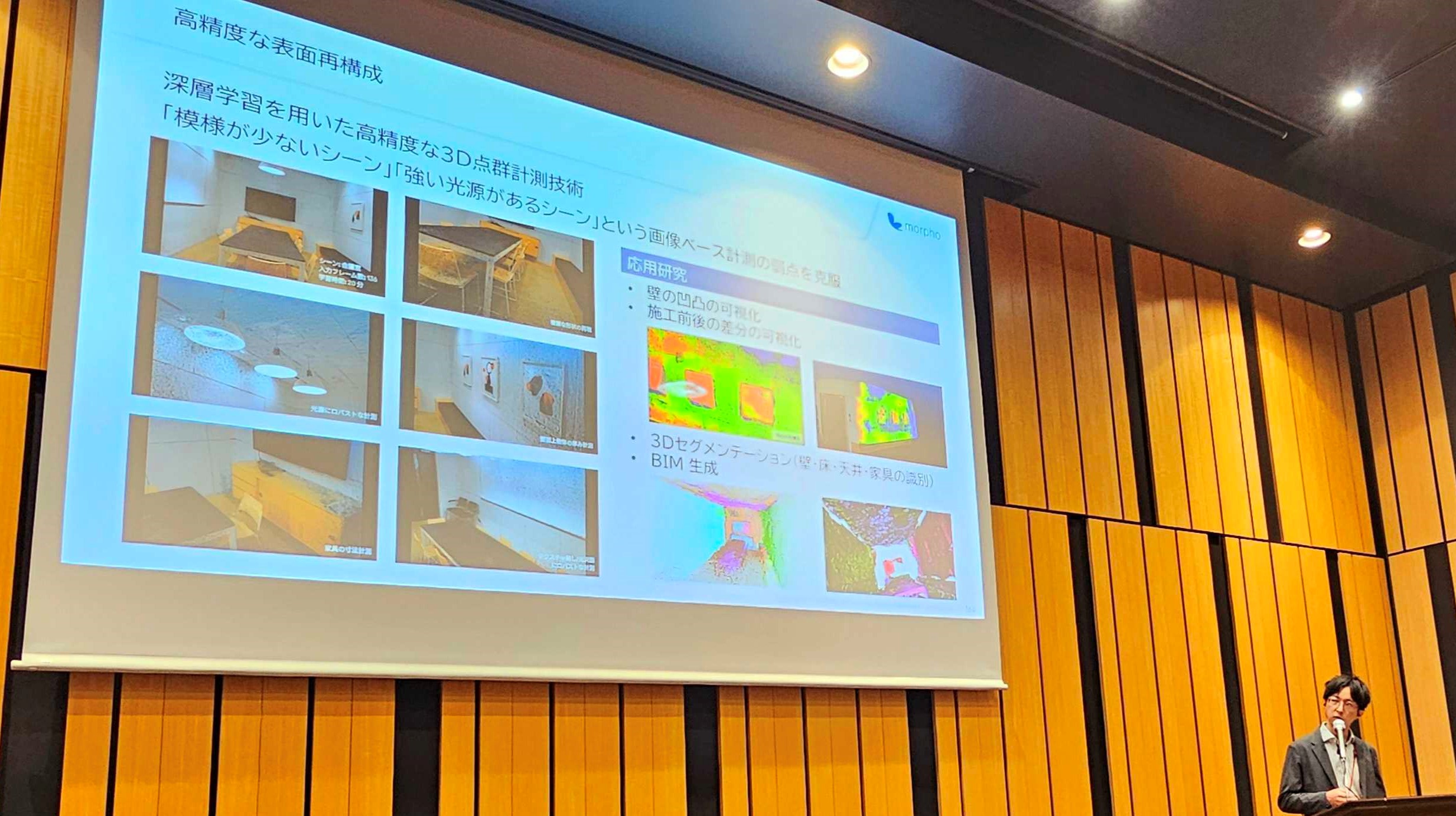
Morpho’s point cloud generation technology generates high-accuracy point cloud data to produce accurate 3D model data.
The high-accuracy point cloud generation technology introduced by Morpho combines high-accuracy calibration methods with the latest AI-based technologies. It performs 3D reconstruction with a higher level of accuracy than existing techniques, and Morpho is in the midst of R&D aimed at producing even higher quality results.
Camera-based high-accuracy point cloud generation technology makes it possible to generate point cloud data from images taken by cameras in smartphones, tablets, drones, or the like. Measurement can therefore be done accurately and easily. The use of drones also makes it possible to gather data for locations which are difficult to measure using conventional, manual measurement approaches. There is no physical contact with the objects being measured, so measurement can be done safely.
This technology also eliminates the need for costly, specialized measurement equipment like a laser scanner. Not only does this help reduce capital expenditures, but it also enables the image data taken with cameras to be used to confirm site conditions, in addition to generating point cloud data.
 Presentation at the General Assembly of Landlog Partners
By continuing to provide AI- and image-related technologies, Morpho is helping improve usability and operational efficiency in the construction industry, contributing to the promotion of the industry’s digital transformation (DX) by reducing capital expenditures, and assisting with further technical development for the benefit of those involved in construction industry.
The Landlog Partner ecosystem, led by EARTHBRAIN Ltd., aims to raise the baseline of production processes for the entire construction industry. Partners come from a wide range of industries, such as construction, insurance, IT, and communications. Technology networking sessions, business matching, and other Landlog Partner events spur new communication between diverse partners and accelerate efforts to solve the problems of the construction industry.
- Landlog Partner website: https://www.landlog.jp/partner/
*BIM/CIM:Building / Construction Information Modeling, Management